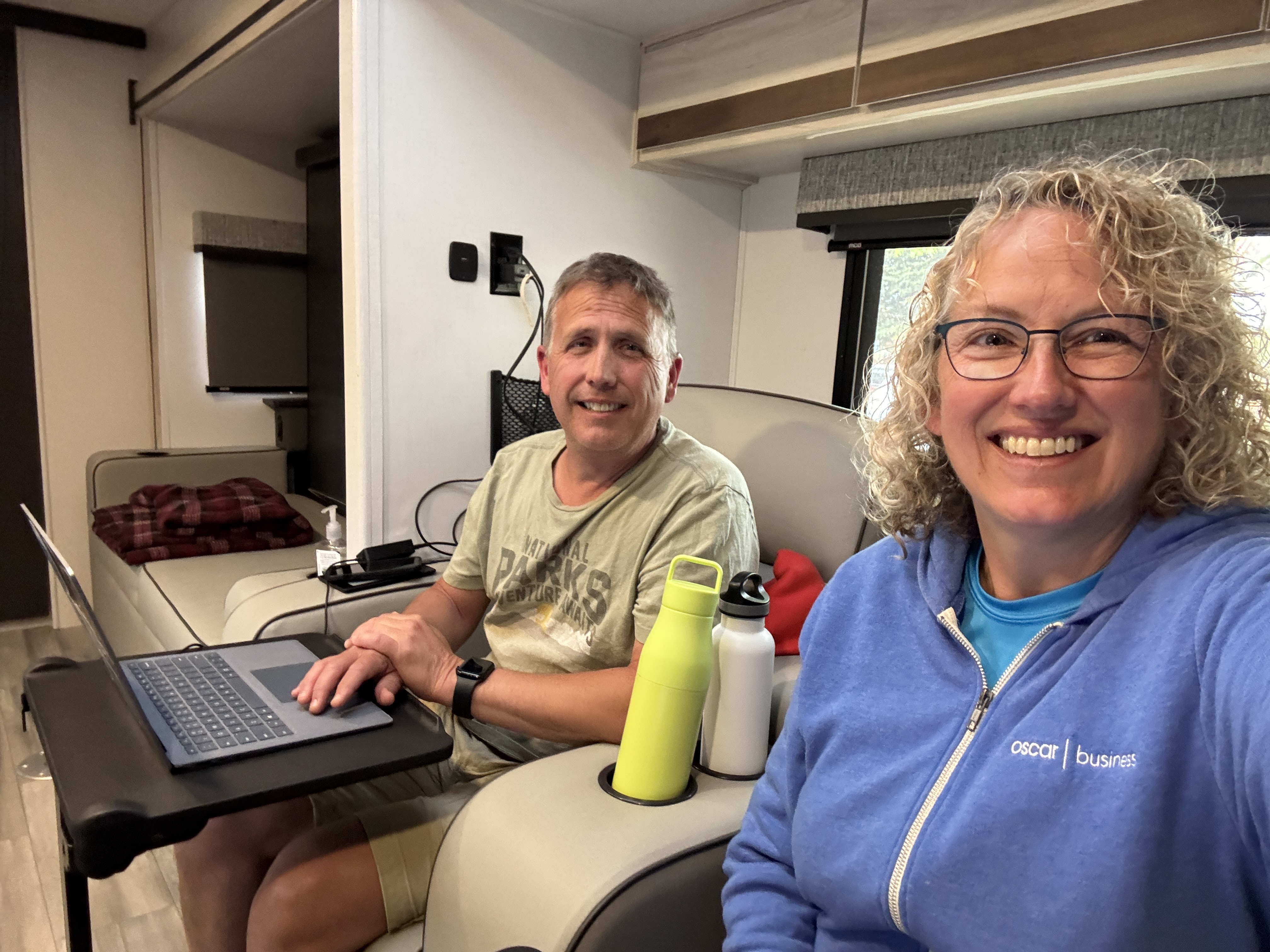
In this phase of the trip, we are always planning. It is part of the fun. Rick has done all of the difficult work so that our route and campgrounds are already established. Other than a cursory review of which National Parks, # of days, # of driving hours, I really don’t pay attention to much until we are on the road. And then, I tend to only look out a couple of days at most. It would otherwise be overwhelming!
One of the fun things about getting to the next campground is looking at the National Park specifics. Once we arrive and get settled, we each get out our phones and start coming up with our plan on how to best experience that park.
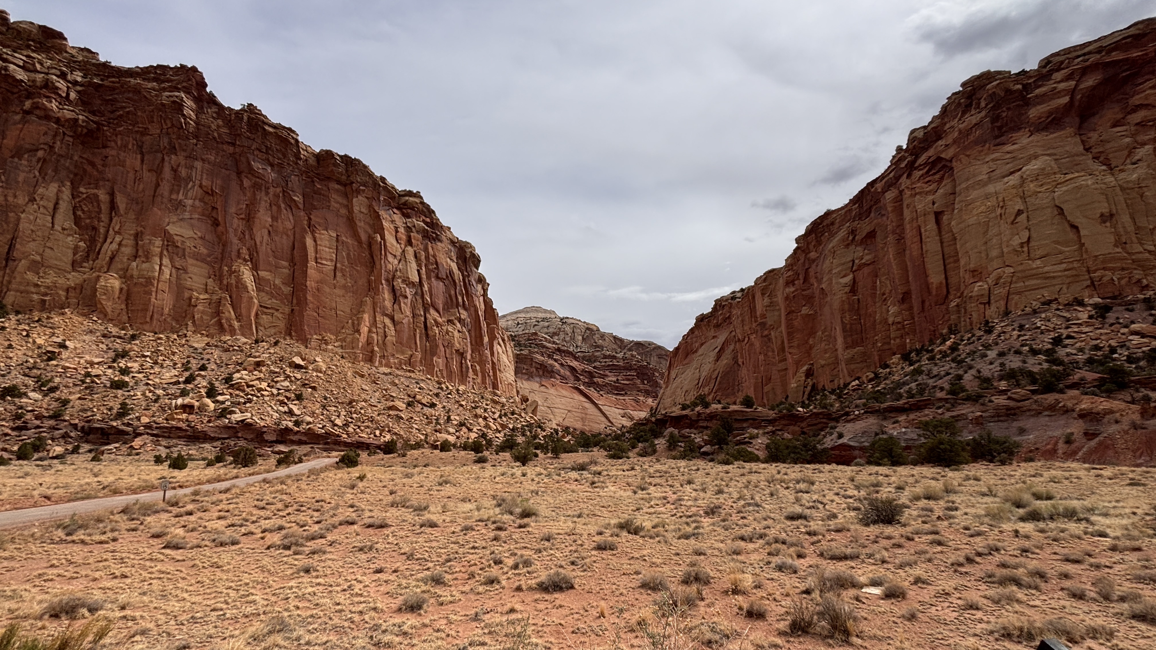
As Rick stated in yesterday’s post, we got a wonderful sneak peak on our way into the Capitol Reef National Park area. Other than our “home park” of Cuyahoga Valley and parts of Acadia, it is pretty unique to be able to visit so much of the park while not going through an entrance station to experience what the park has to offer. But yesterday, we not only saw a fair amount of the park’s highlights, but we also saw how crowded those parking lots were. So our planning was of the utmost importance.
Rick gets on AllTrails, I get on the NPS app. We review together to see what are the most interesting hikes and what fits together the best. We’re all for a challenge, but we also have our limits. And so yesterday, we made our plan, with the first stop being right on the main road we were on yesterday, with the full parking lot. Therefore, it was early to bed and early to rise!
We were at the trailhead just at sunrise, after getting Livvy ready to go and Rick making that drive in the early morning dark. It’s not our favorite, but we also didn’t want to miss our opportunity with a lot that wouldn’t accommodate Livvy. Lucky us, we were the first ones to the lot today!
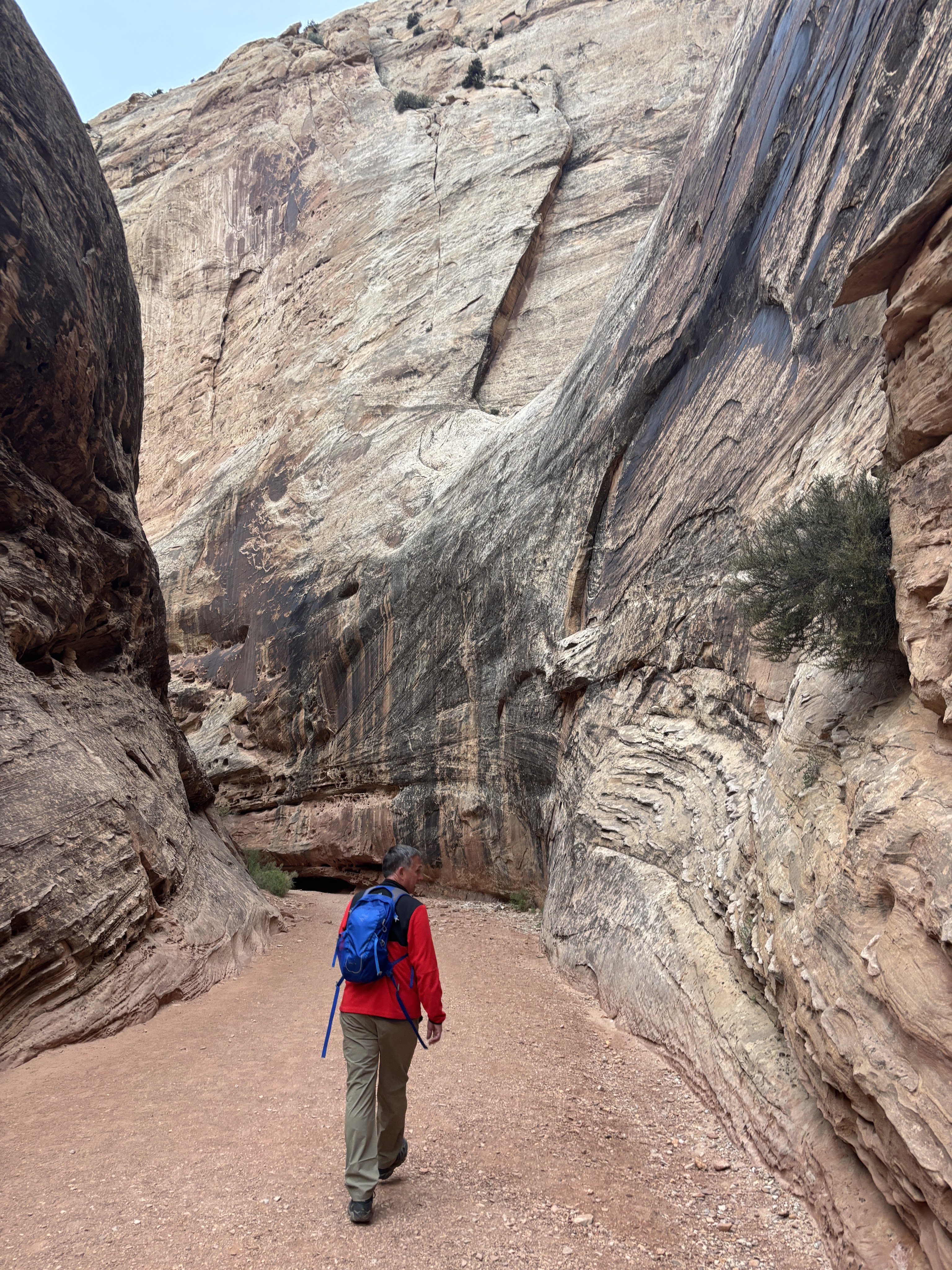
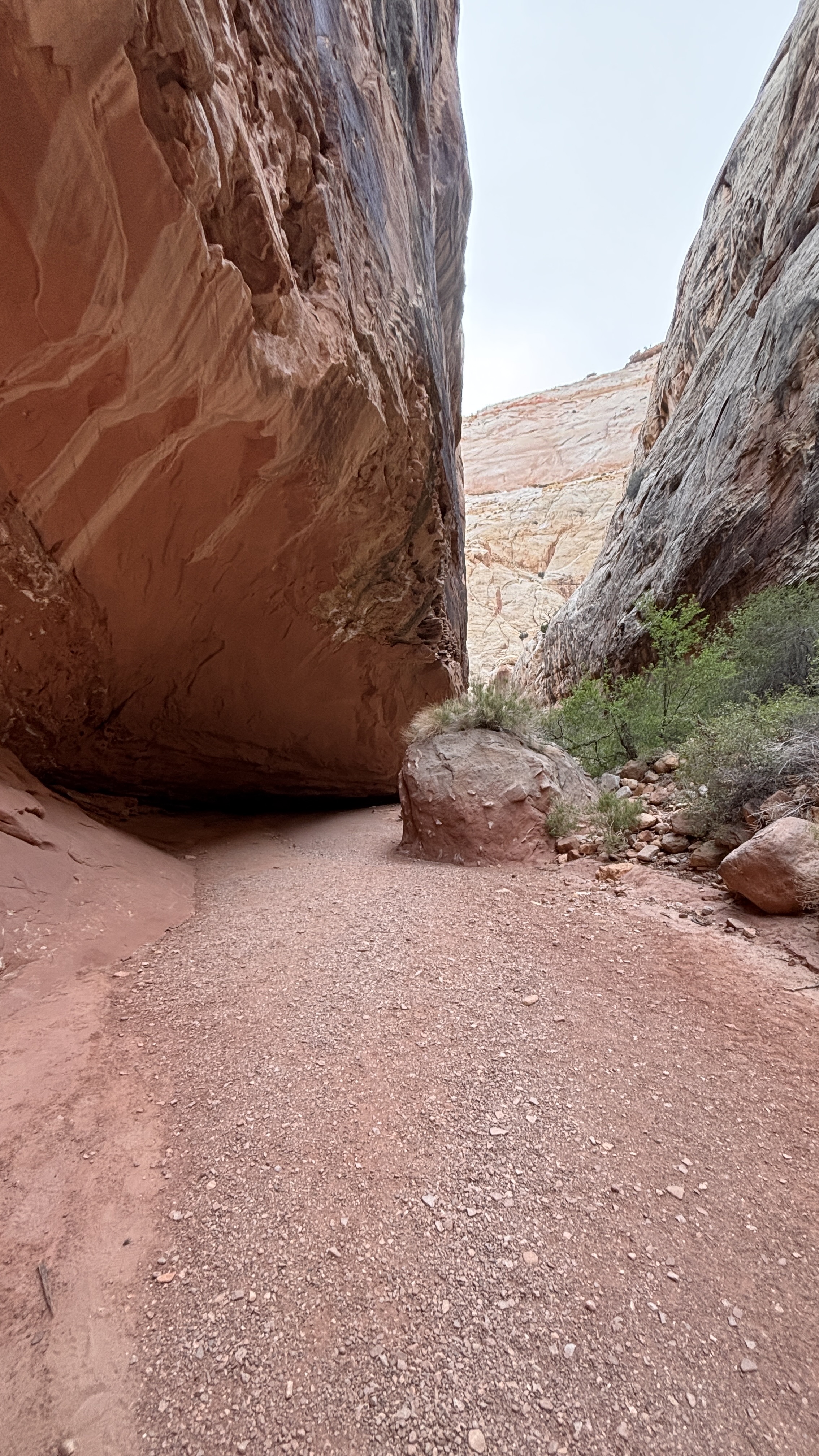
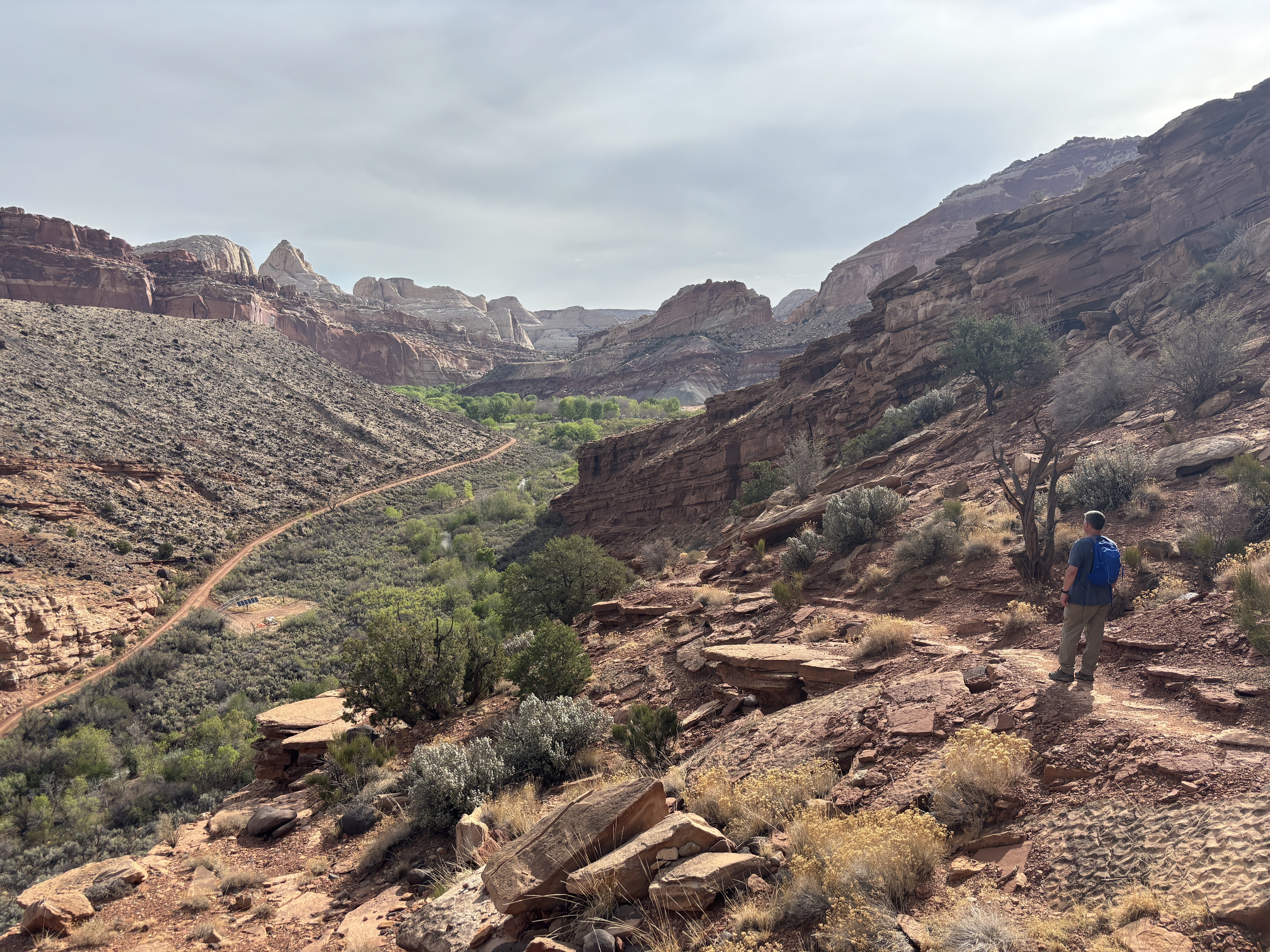
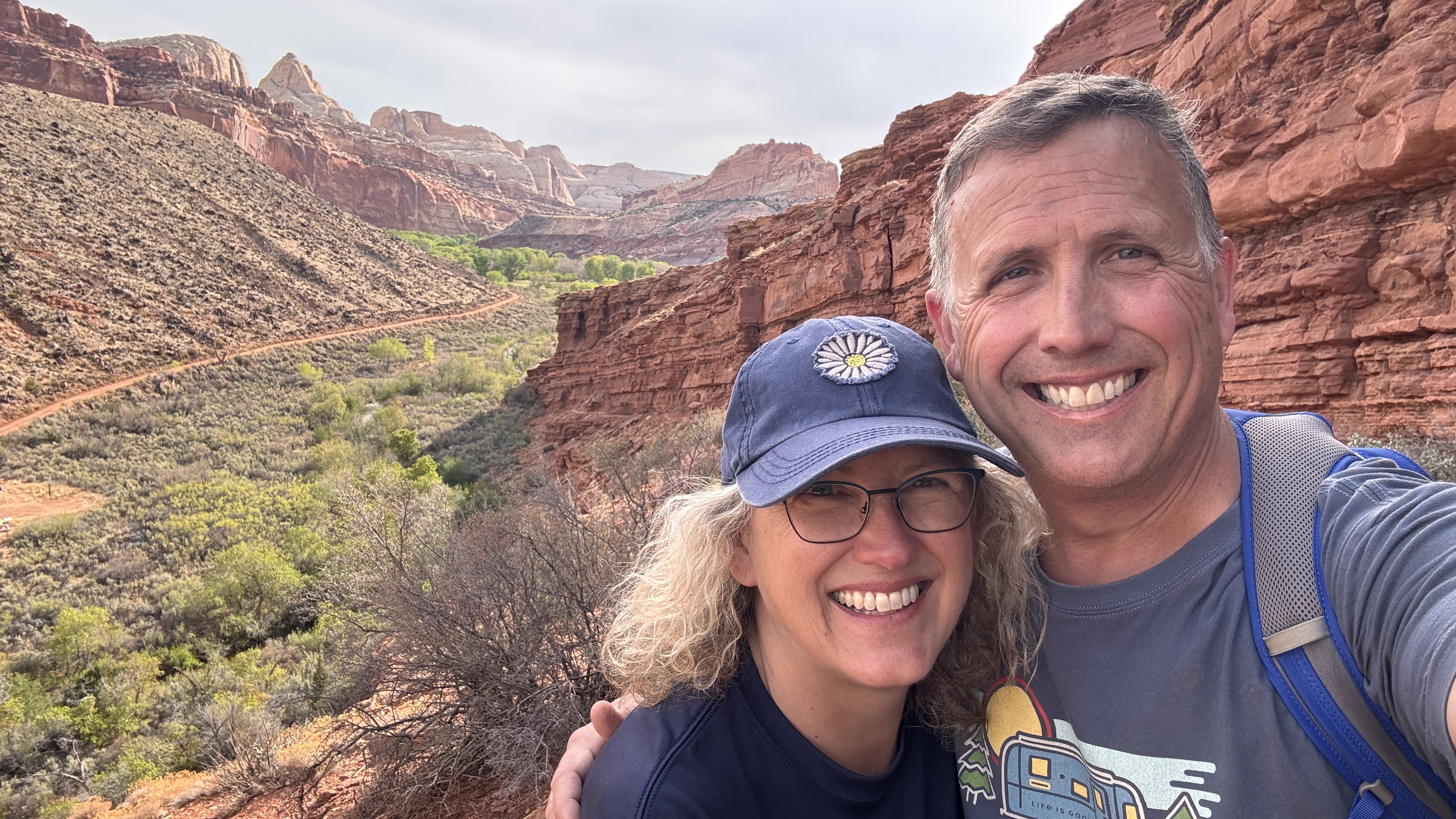
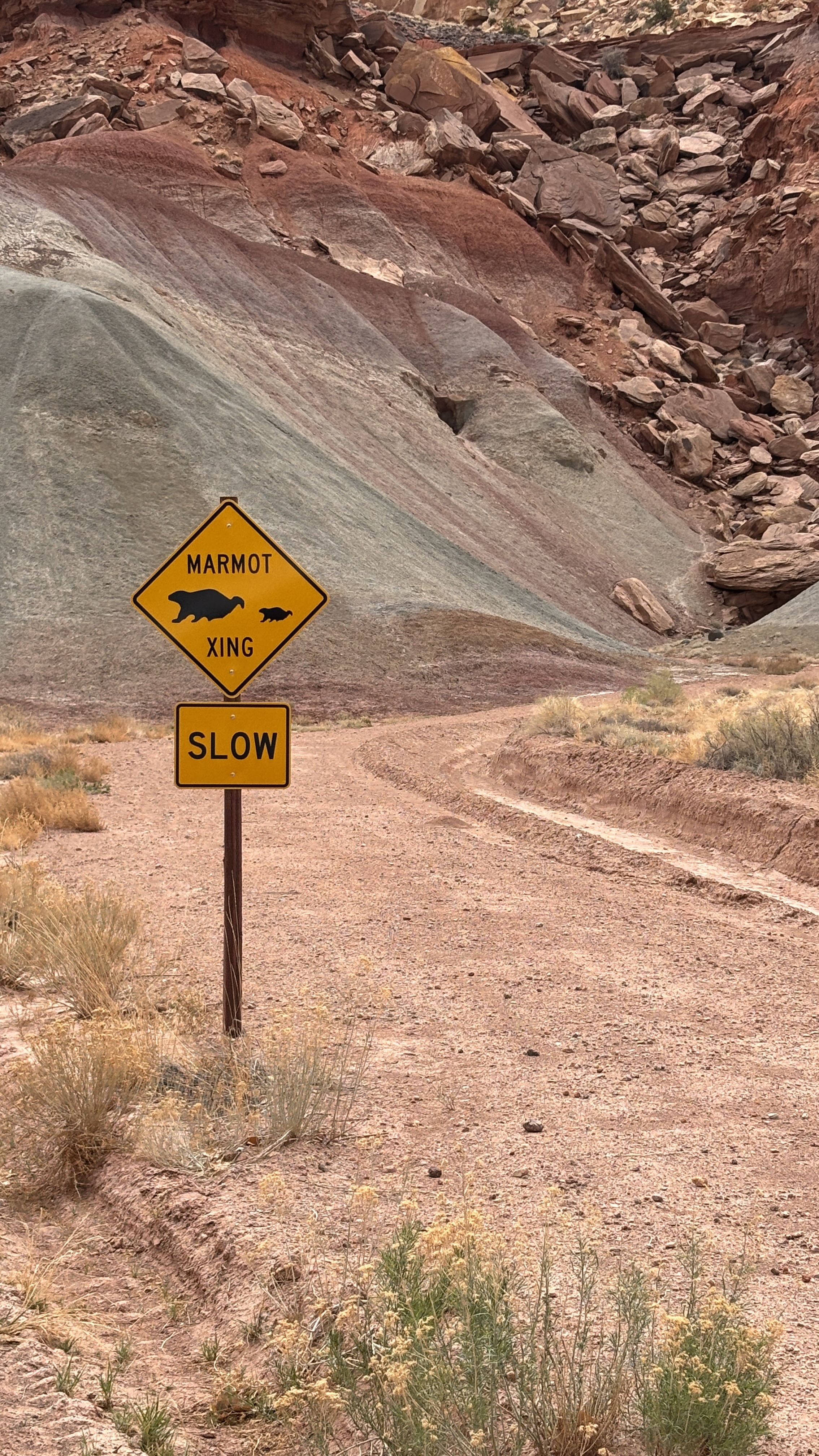
Then it was off to the second hike that we selected for today. I’ve said before that my favorite hikes/campsites involve a water feature. On this phase of our Southwest trip, that has been in short supply. Until today! Hike #2 was the Fremont River Trail. We had a short drive up into the actual park past the visitors’ center. We found a lovely lot close by (again, the only vehicle in this early hour) and off we went.
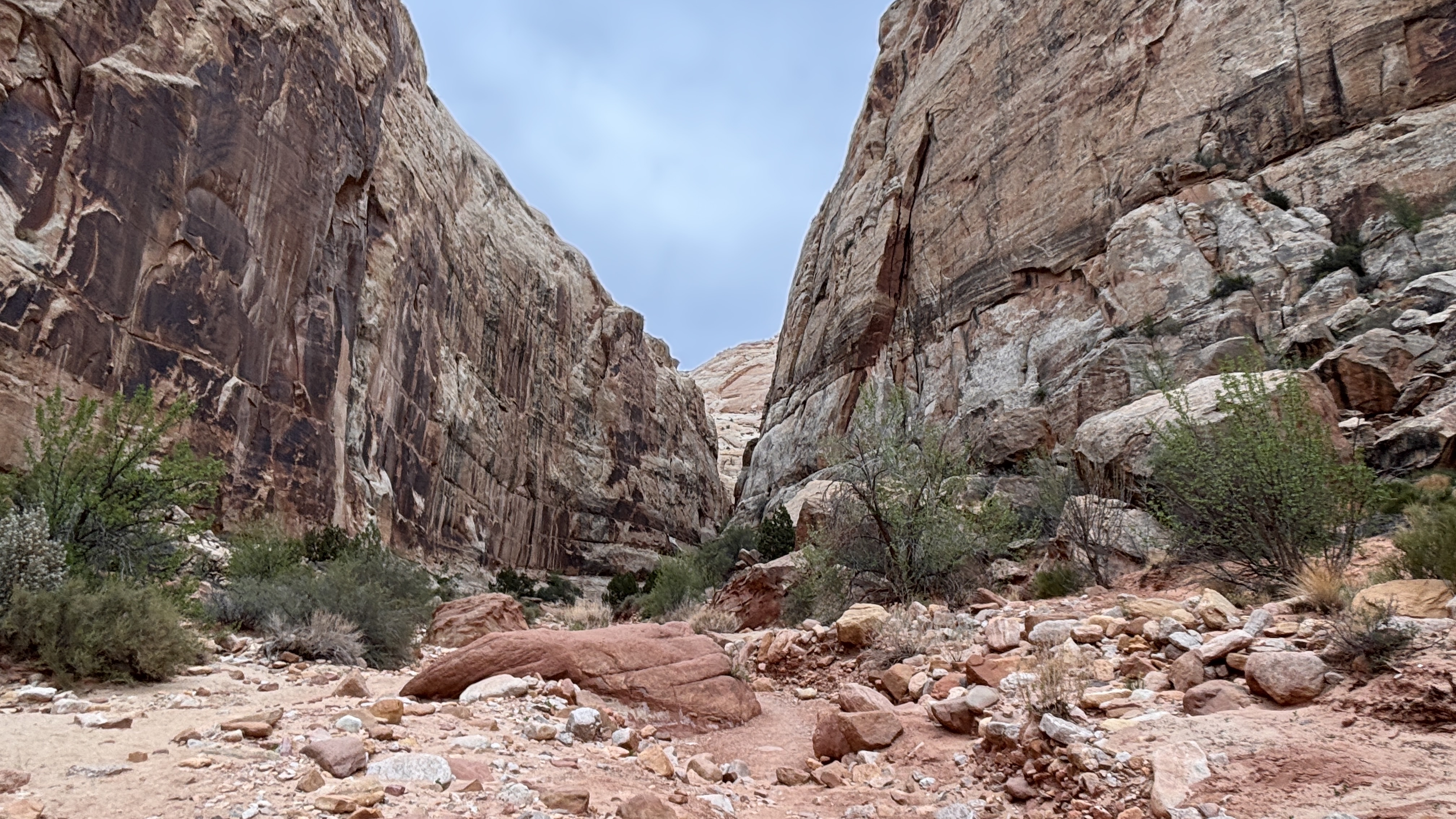
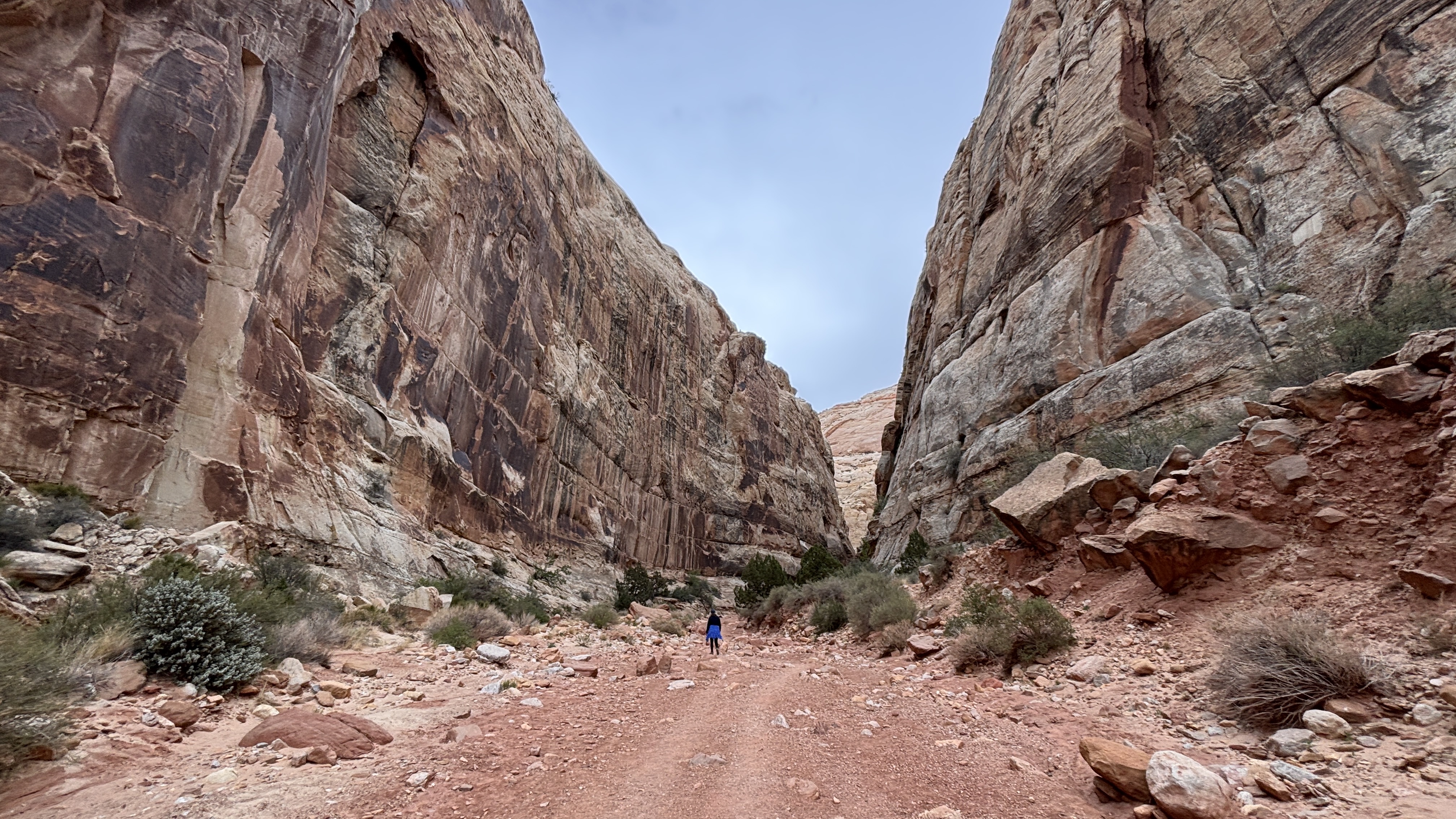
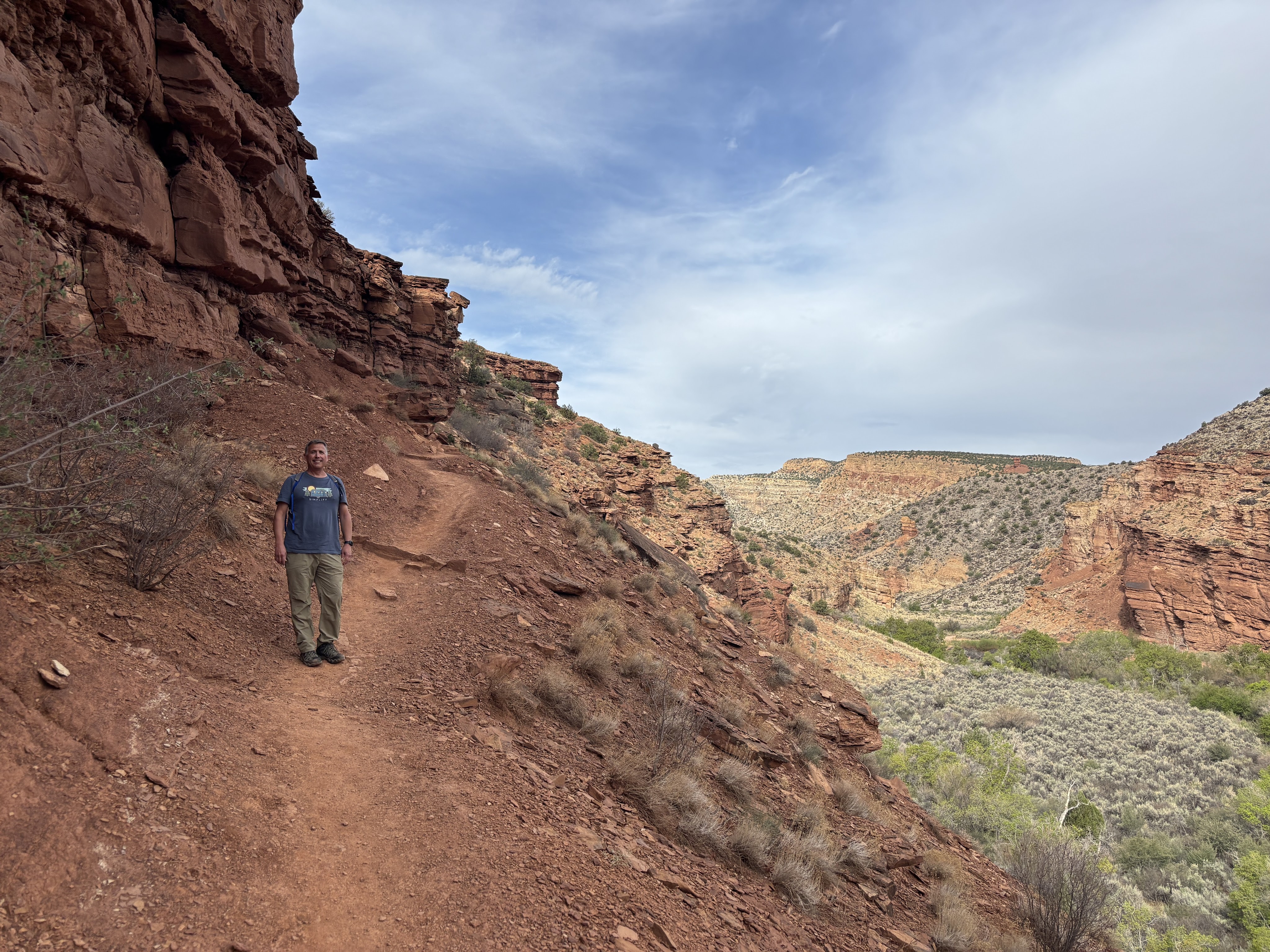
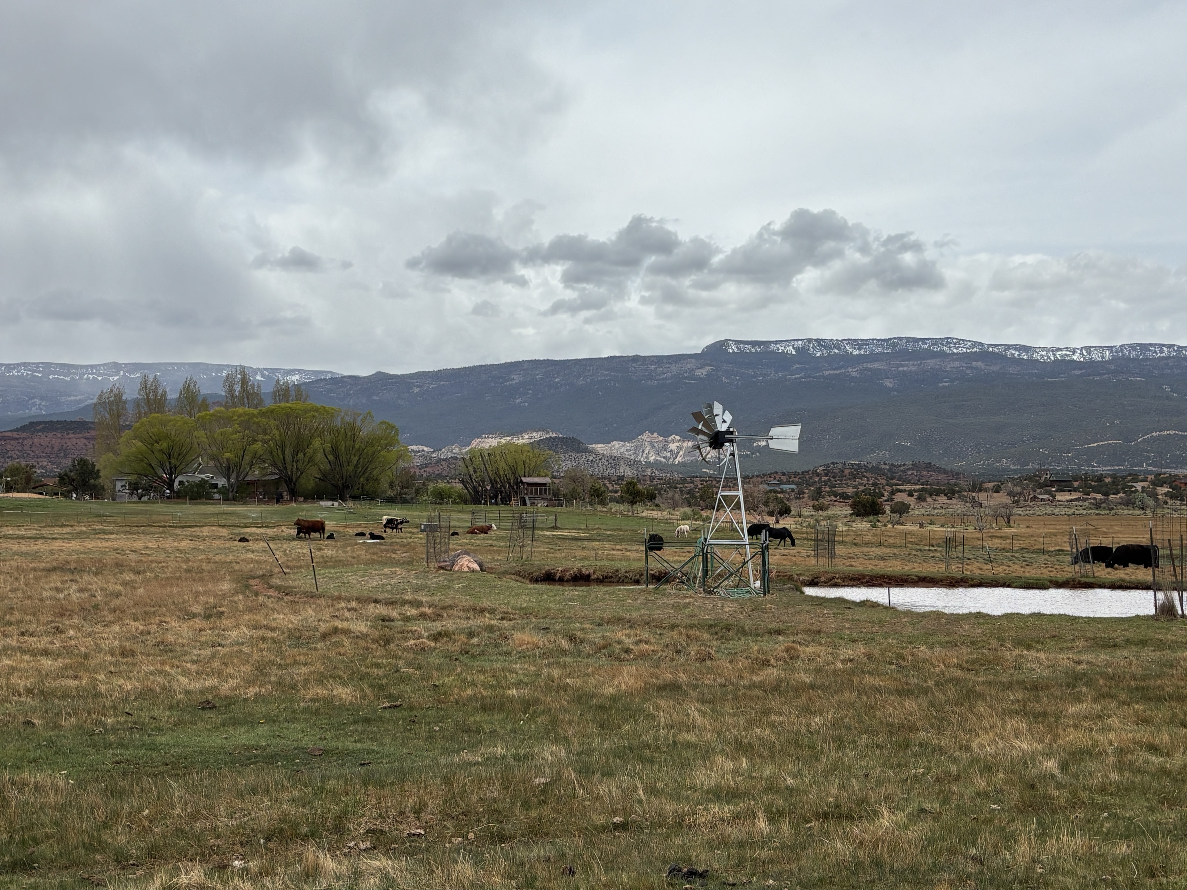
This trail followed the river, of course. It took us near the Gifford House (more on that later), the campground and some pasture for horses. So the first part of the trail was flat and easy. We knew that this one was going to be a challenge, though, which is exactly what we signed up for.
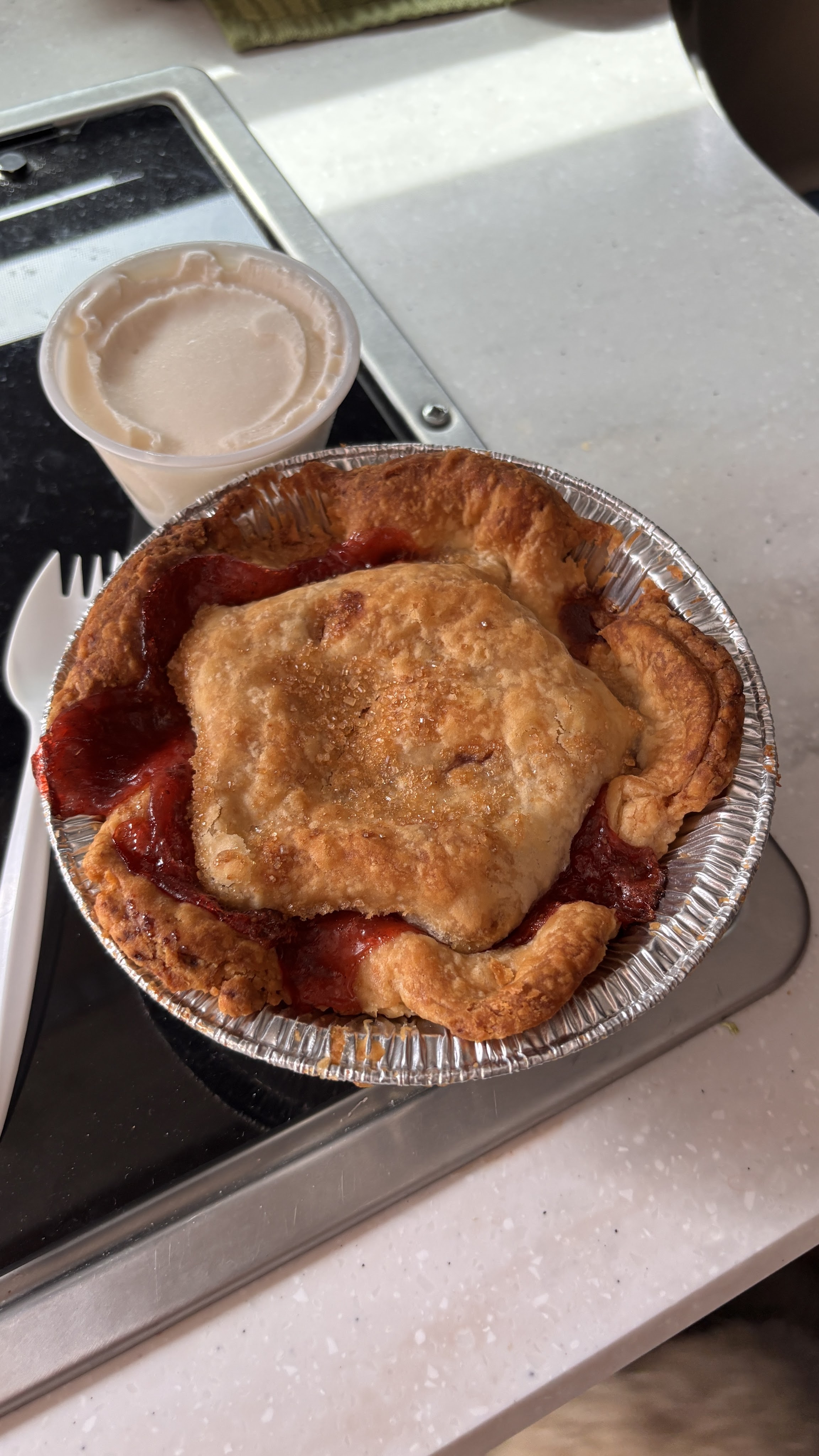
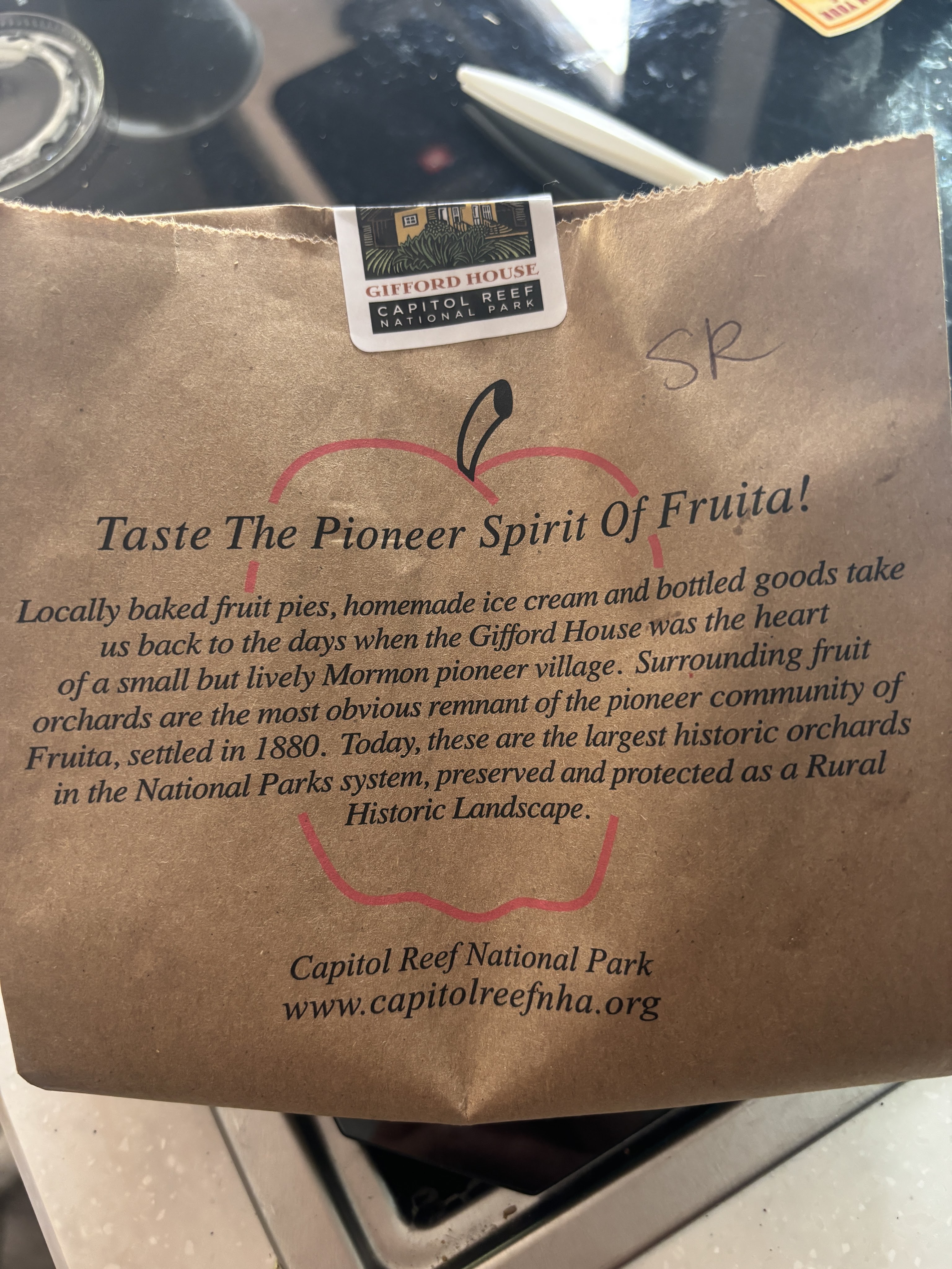
Then, at the end of our hike, we had a lovely surprise. At the Gifford House, we had planned to make our turn back to Livvy (and Daisy). But there were suddenly plenty of people, many carrying bags leaving the Gifford House, and others enjoying something at the picnic tables. Well, I made the decision that we were going to find out what this is all about. I expected some trinkets and/or maybe coffee (which we were lacking this am), but it was so much better!!!
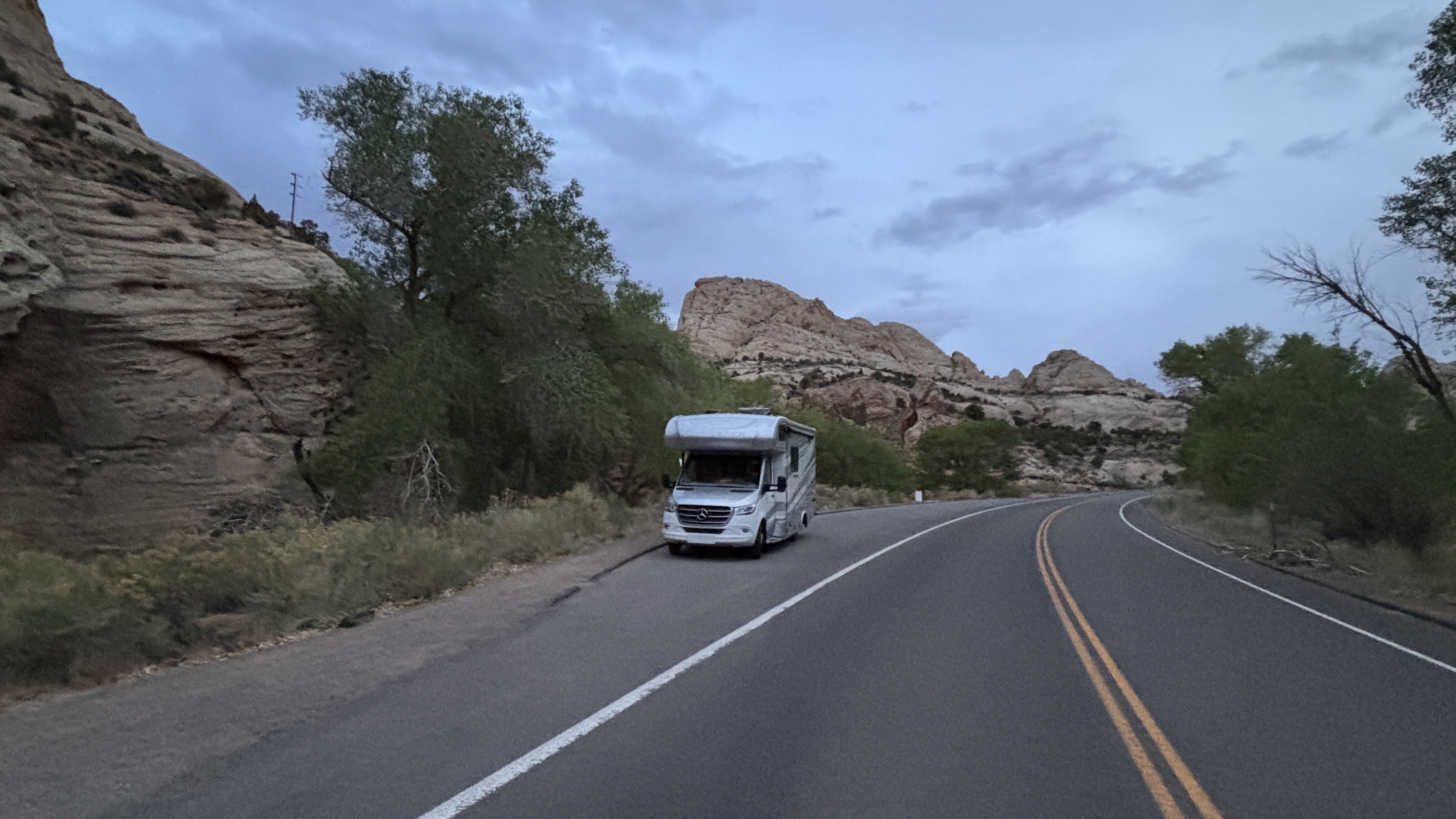
Then, after all that, finally on to the more “formal” section of the park. Again, it is a little different in that they don’t have a formal entrance station but rather a stop sign and instruction to pay $20 at the posted location if you don’t have a pass. It’s an impressive but no frills park, with minimal staffing. Anyhow, the park’s main feature for us in our large, rambling vehicle that is not meant for off-roading is an 8 mile scenic drive. They had an alert that they were in the middle of construction, and we are grateful that it was passable for us.
It was not without its challenges. The water runoff from all of these beautiful areas has to go somewhere, so there were a total of 14 washes (significant dips in the road with gullies on either side) that we had to pass over. Because they are still actively working on this project, the road was not done in those areas and we had significant bumps to slowly traverse on each side, each way. That’s a total of 56 bumps in case you are counting. Lucky me, driving this part. We were grateful that we rarely had anyone behind us so that we could go slow not only over these washes but throughout the gorgeous landscape.
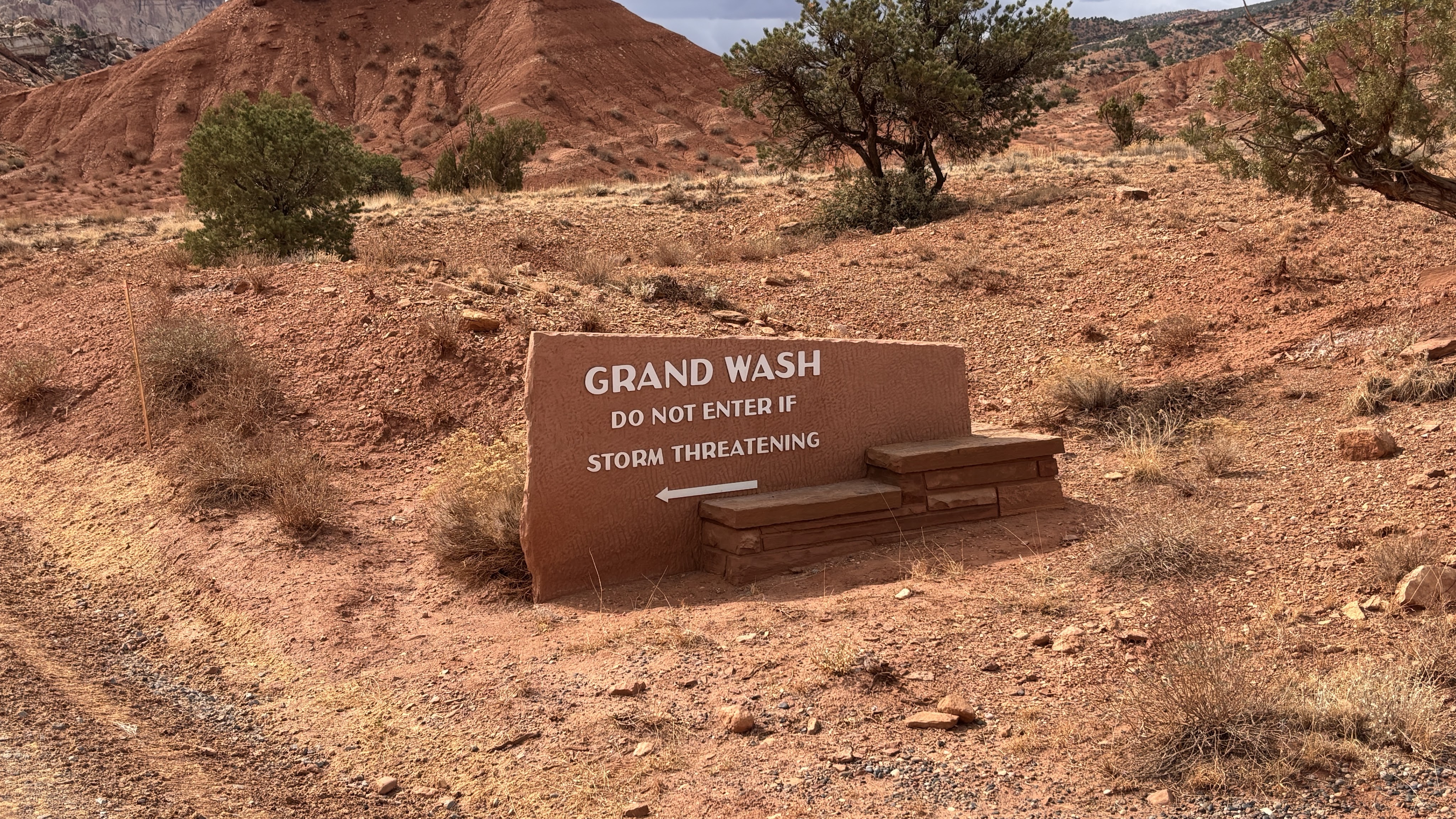
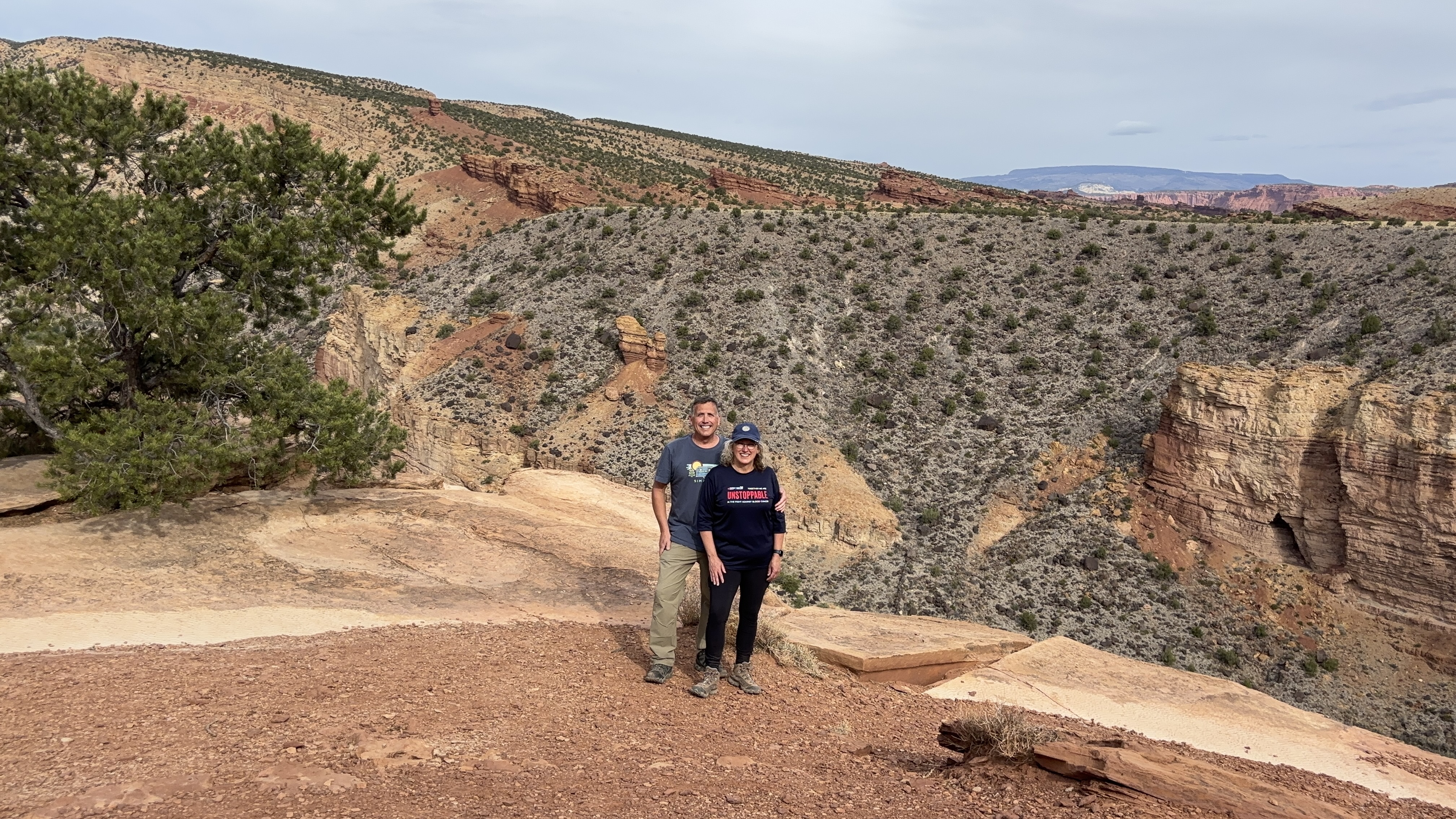
Once you finish scenic drive, there is a loop and decisions to be made. Livvy made our decision easy as we couldn’t continue into the next areas.
All that adventure and we were heading back to the campground, exhausted, shortly after 11. The skies had clouded over even more, and we had some sprinkles/wind throughout our drive back and afternoon. That’s ok because we needed a shower, lunch and a nap!
This evening we are starting to look at our plan for tomorrow as we travel towards Bryce Canyon National Park. We’ve read that if you take the scenic route, it is one of the most beautiful drives in the country… and so we think that is our plan! That, and hopefully a grocery stop. I don’t know where these people go to get fresh fruits and veggies!!
Leave a Reply